Smarter Fields, Sharper Yields: Aerial Insights
EagleReach delivers actionable insights to those who manage the land. We provide advanced agricultural imaging and land use monitoring that help farmers, ranchers, landowners, and public land managers make smarter, faster decisions:
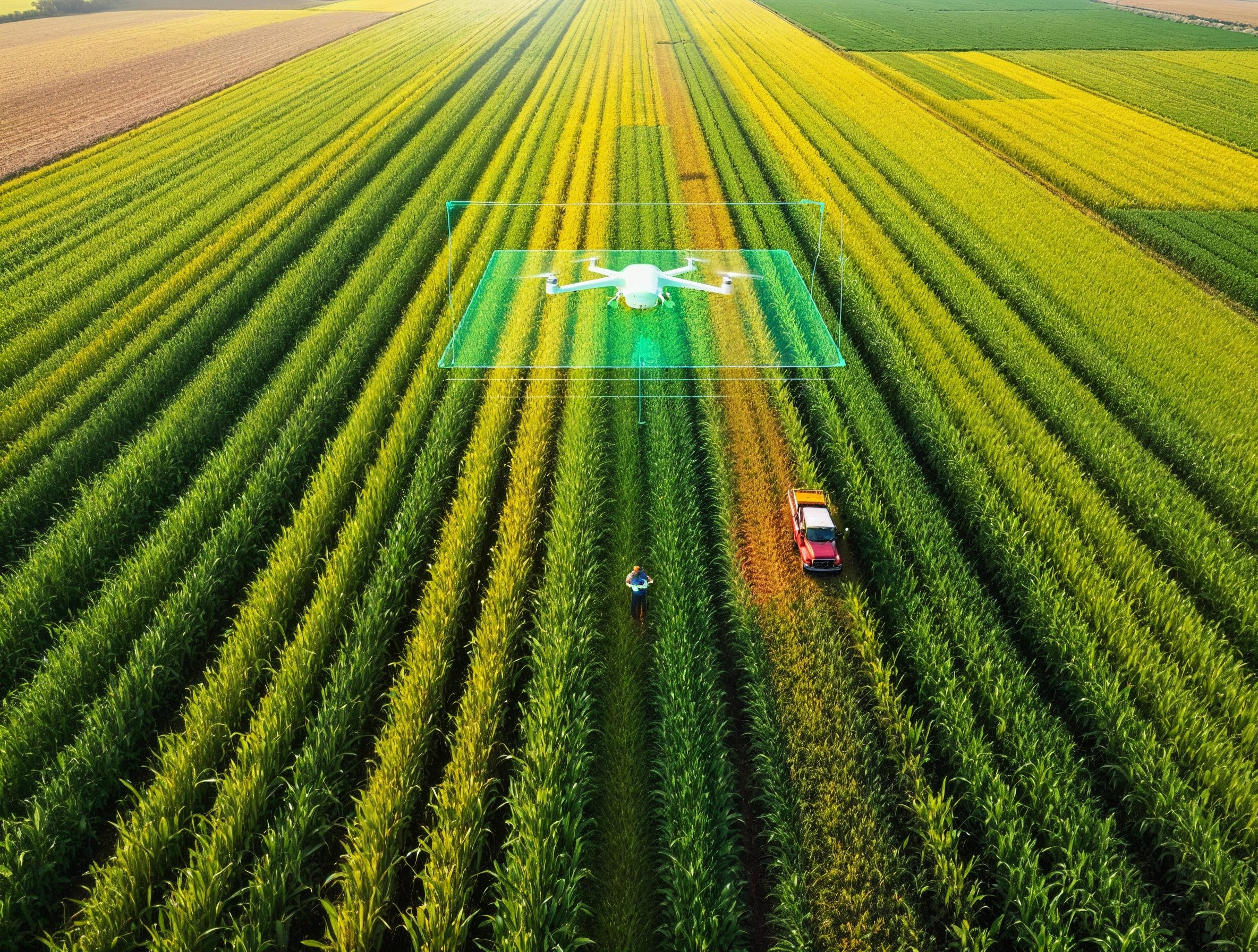
- NDVI crop health analysis for early detection of stress, pests, or irrigation issues
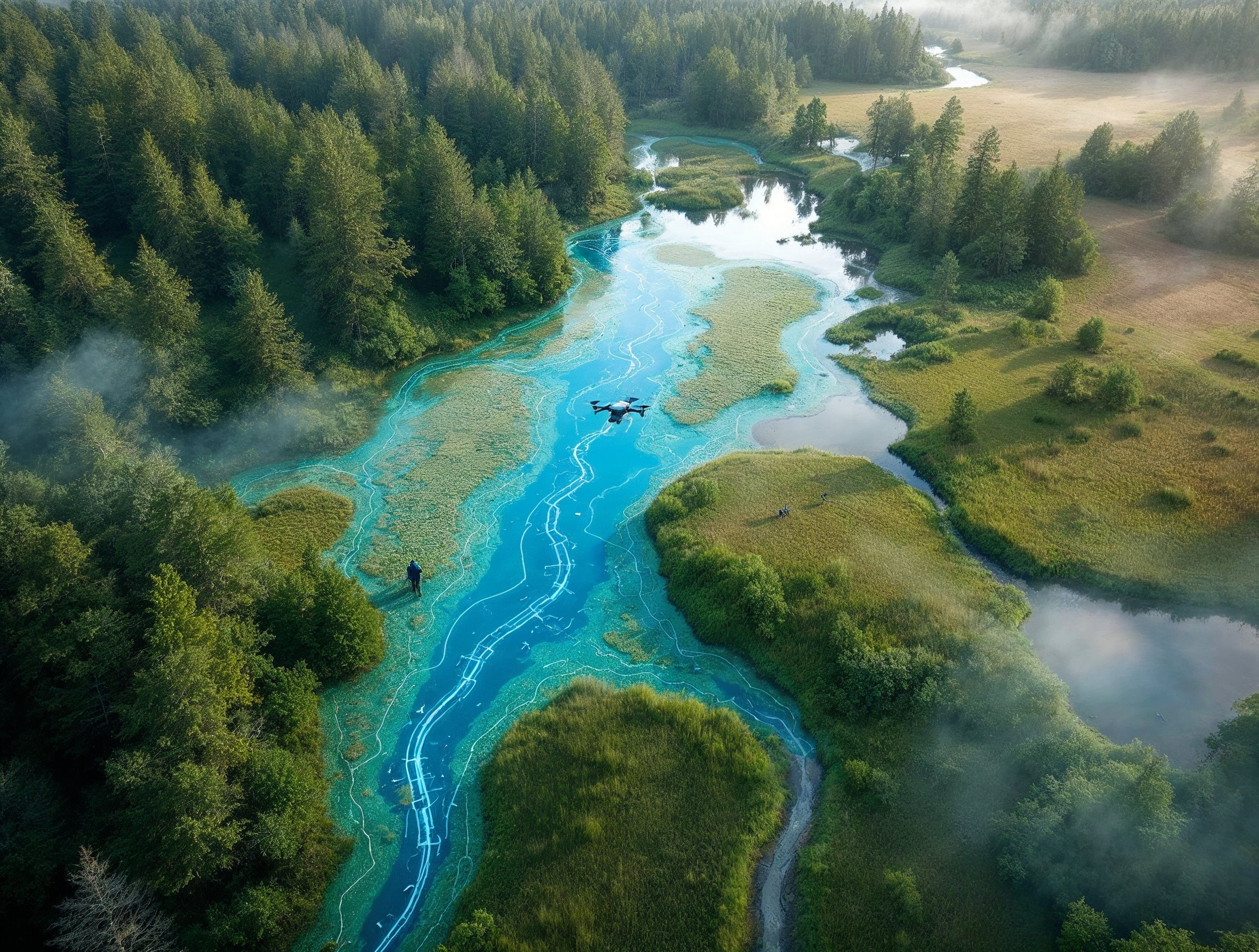
- Drainage and erosion mapping to identify low spots, runoff paths, and water flow risks
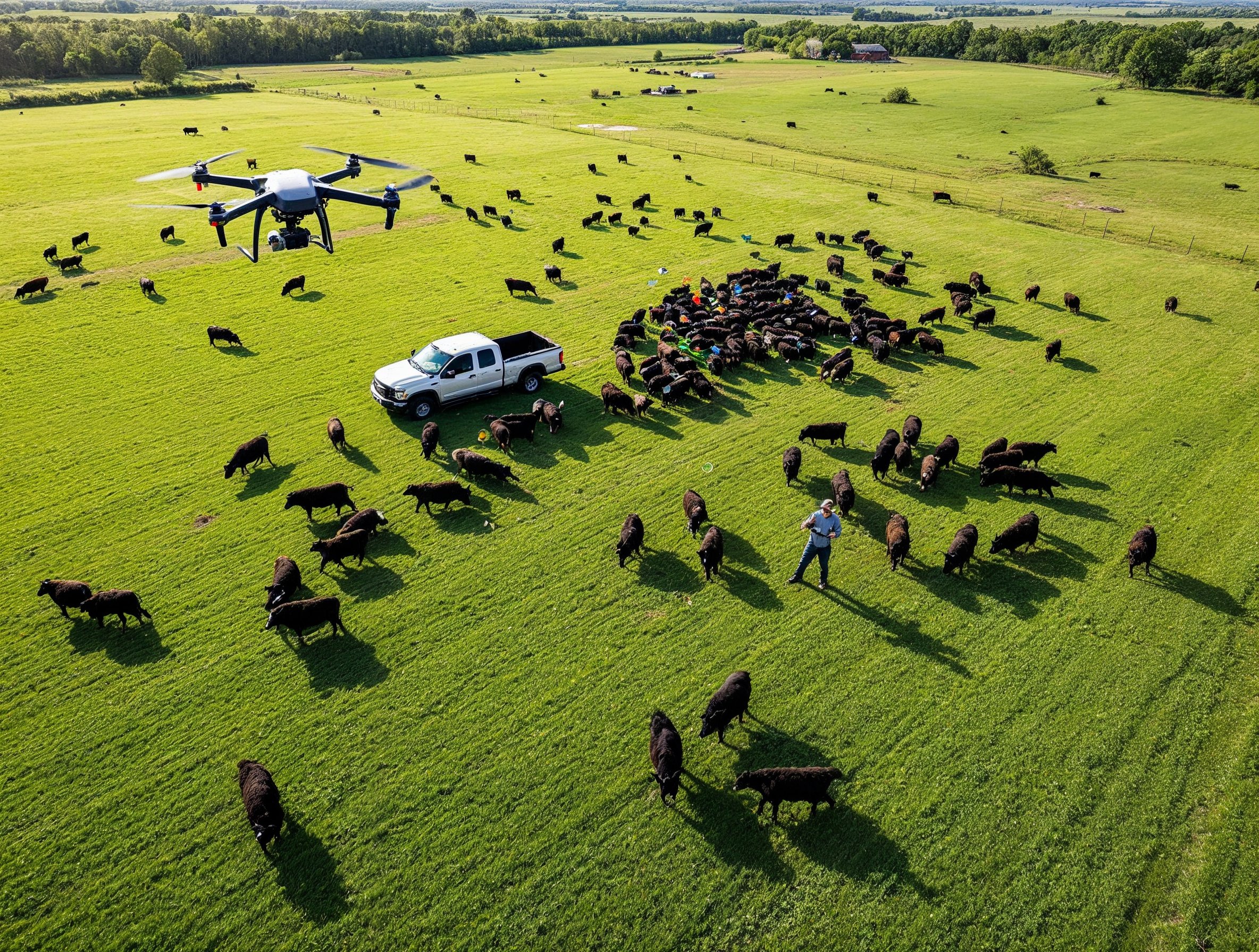
- Livestock tracking and pasture assessments using thermal and visual imaging
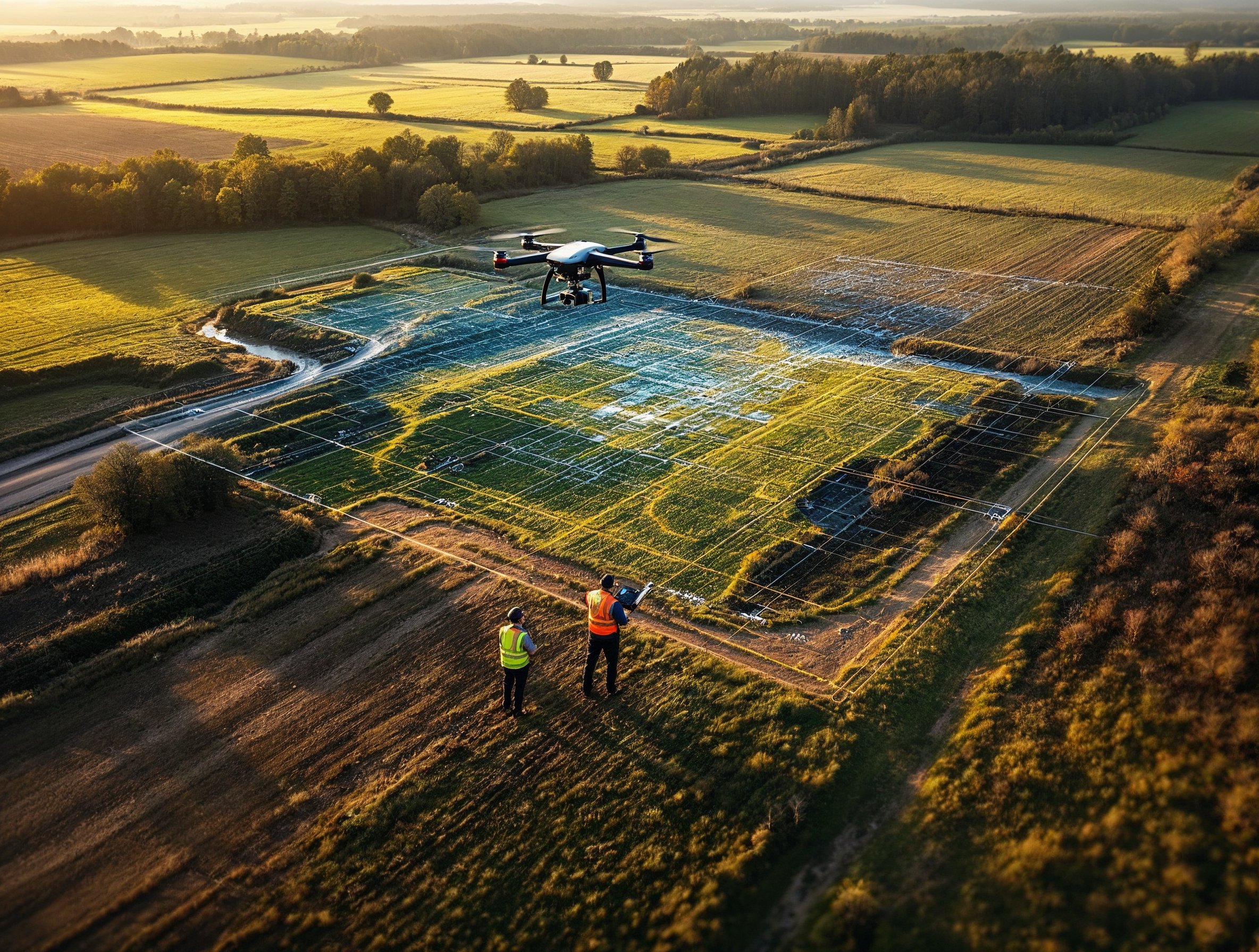
- Timber and field surveys for land development, conservation planning, or reforestation
We also support managers of county and community forest preserves with detailed aerial insights for trail maintenance, habitat monitoring, storm damage assessment, and long-term ecological planning.
We help you see beyond the fence line—ensuring your land works better, yields more, and lasts longer.